The Karwendel Mountains
The Karwendel Mountains form one of the main groups of the Northern Limestone Alps and are mostly located in Tyrol, with a smaller part in Bavaria. Four large mountain ridges stretch for 45 kilometers from west to east, separated by deep valleys with streams and rivers, with the Isar being the most prominent. The northernmost ridge has some sub-ranges of mountains that run perpendicularly, whose outflows all flow into the Rißbach or form it. To the north lies the extensive Vorkarwendel with peaks up to almost 2,200 meters in height, including well-known mountain formations such as Scharfreiter, Kompar and Mondscheinspitze. The Karwendel is surrounded by a kind of rim or edge, the mountain ridge that runs west of the Achensee and extends north into Juifen, and the peaks of the Gramaier group. The Karwendel valley and the Gleirsch valley roughly repeat the layout south of the Riß valley, as well as some branches or separate mountain ranges. The Seefelder Sattel separates the Karwendel from the adjacent Wettersteingebirge, while in the south, the famous Innsbrucker Nordkette towers imposingly over the Inn valley.
The Via Alpina, the Adlerweg, the European long-distance trail E4 and the Nordalpenweg 01 pass through the Eng.
Geology and topography
The Karwendel is characteristic of a high-alpine limestone mountain range, with light rocks such as Wetterstein limestone and dolomite prevailing, which were folded by the push of the African continental plate from south to north and therefore have predominantly steep northern sides, such as the famous Laliderer walls, and flatter southern slopes. The peaks are different from those in the Dolomites or the Central Alps, they are not as jagged; softer, rounder shapes are missing and only reappear in the Vorkarwendel. The numerous troughs were created after the melting of the Würm-Ice Age glaciers. The mountain can no longer have large glaciers, but it does have large differences in altitude between the valley floors and the peak regions. The limestone is brittle and weathers heavily. However, there are no karst caves and dolines, such as those in the Hagen or Tennengebirge. The acidic soil of the valley floors favours the mountain ash, while on the mountain slopes grow firs, larches, pines and further up, dwarf willows. Due to the morphology and numerous conservation efforts, there are no ski slopes or ski lifts in the Karwendel, but there are three ski lifts near the peaks, at Mittenwald, on the Achensee and from Innsbruck. Similarly, no road access was provided; throughout the mountain range there is only one public road, which runs from Hinterriß to the valley floor in the Eng – a toll road that is closed to private traffic during the winter. The mountain bus with numerous stops serves the route from Lenggries.
The Karwendel is originally a water-rich mountain range with many mountain streams, but the two main drainage channels, the Isar and the Rißbach, are heavily drained, a large part of the water flows through an underground tunnel into the Walchensee and feeds the power plant located there. The Dürrach in the Vorkarwendel is also tapped, its water feeds the Achensee power plant and flows into the Inn. Larger, naturally formed lakes also do not exist.
There is only one permanently inhabited settlement in the Karwendel, which can only be reached from the north (and therefore from German territory) via the Rißbach valley, Hinterriß. The main part of the high mountain range lies on Tiroler soil. At the edge of the mountain range are the cities or towns of Innsbruck, Mittenwald, Seefeld, Achenkirch and Pertisau.
For centuries, agriculture, forestry and hunting were important, but at certain times, the now largely abandoned slate mining and the extraction of iron and silver were also important. There are still over a hundred farms in the nature park. Tourist development began in the second half of the 19th century, mainly through Hermann von Barth, whose memorial stone stands at the end of the Johnnesbach valley in the middle of the Kleine Ahornboden, and offers numerous possibilities for different forms of alpinism with more than 50 managed huts and farms.
The Karwendel Nature Park
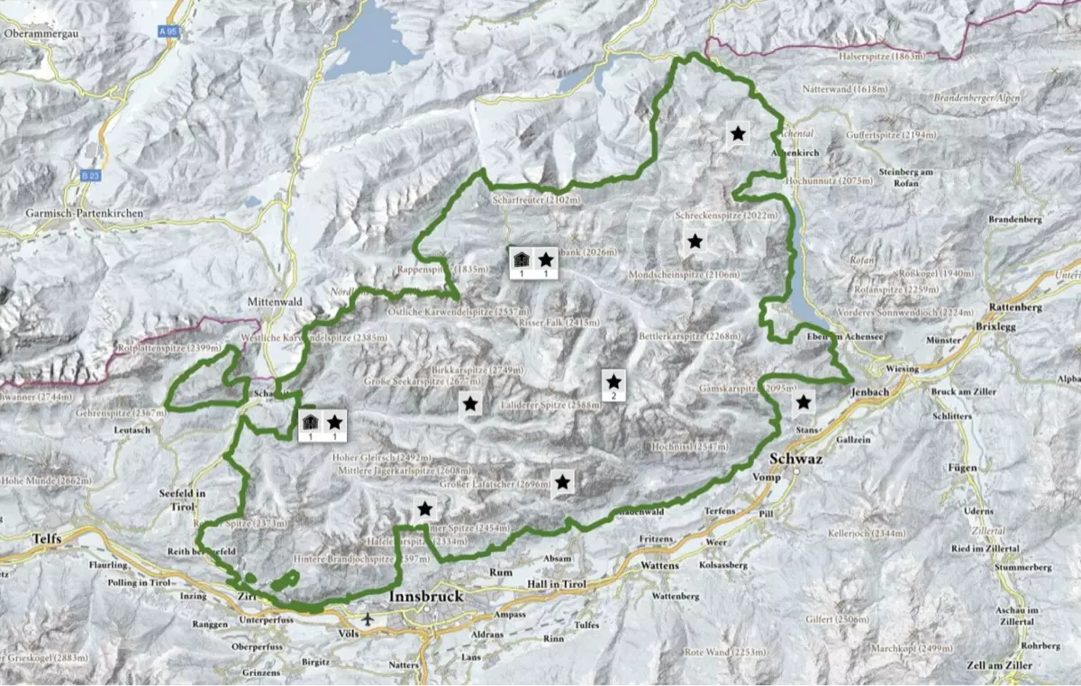
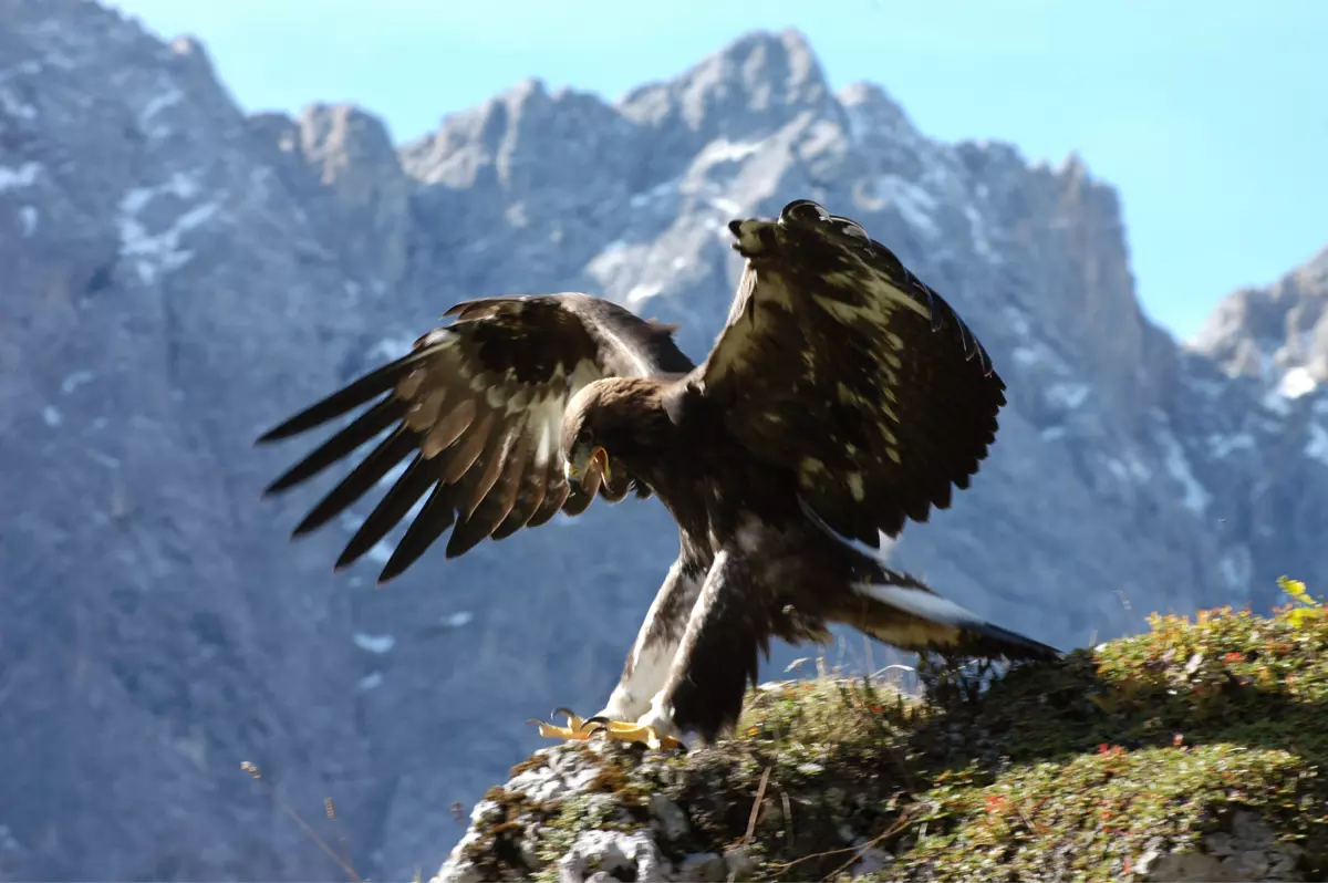
The nature park with an area of 739 km² is the largest and oldest nature reserve in Tyrol and the largest nature park in Austria. It includes the entire mountain range as well as parts of the Vorkarwendel and the Arnspitz group in the west. In the national park, there is a high proportion of natural habitats such as primeval forests and wild rivers, and it is home to a large number of European species, such as the golden eagle, the raven, the white-backed woodpecker, the alpine rose, the edelweiss and the lady's slipper. In total, there are over a thousand plant and three thousand animal species in the nature park. The golden eagle forms the highest density of animals in the entire Alpine region.
Due to its high natural value, the Karwendel is also part of the European protected area network „Natura 2000", which aims to preserve the European natural heritage.
The focus of the nature parks is on the areas of nature conservation, recreation & tourism, environmental education and knowledge & research. The administration of the nature park is located in Hall, Tirol.
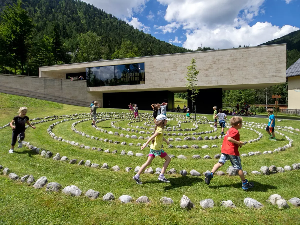
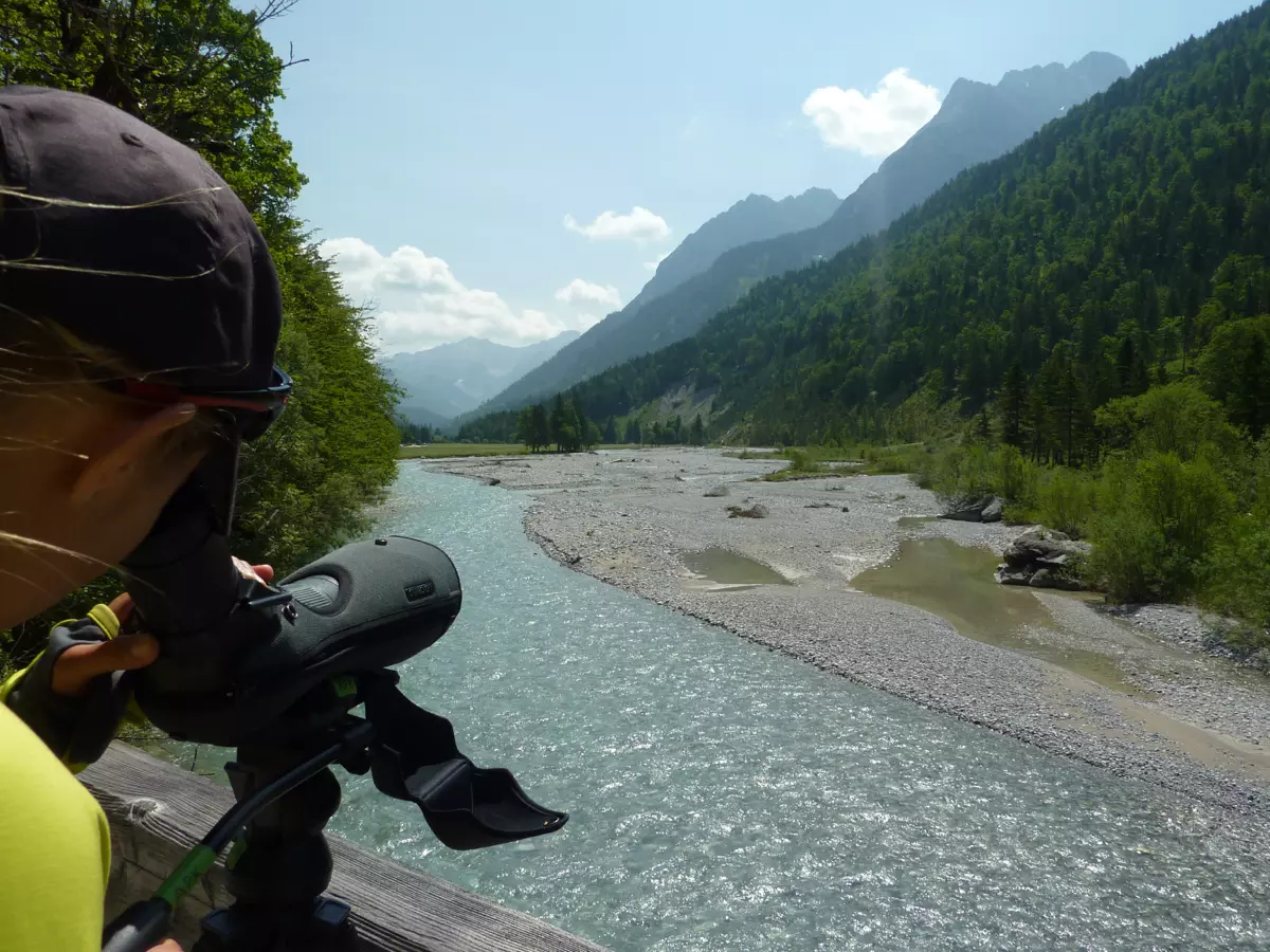
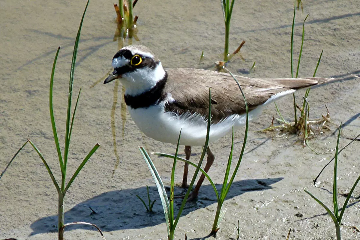
The Kieselstein-Lehrpfad (paved path) at the Krüner Isarufer (Isar River bank) and the efforts to preserve the Flussregenpfeffer (European otter) populations on the Isar and Rißbach, as well as the Naturparkhaus (Nature Park House) in Hinterriß, which brings the geology, history and nature of the Karwendel closer to visitors, are of particular interest.
The Great Aspen Grove
The valley floor at the beginning of the Rißbach has been inhabited since 4,500 years ago and owes its origin to a glacier of the Würm Ice Age, which was more than a thousand meters high and only allowed the highest mountain peaks to emerge.
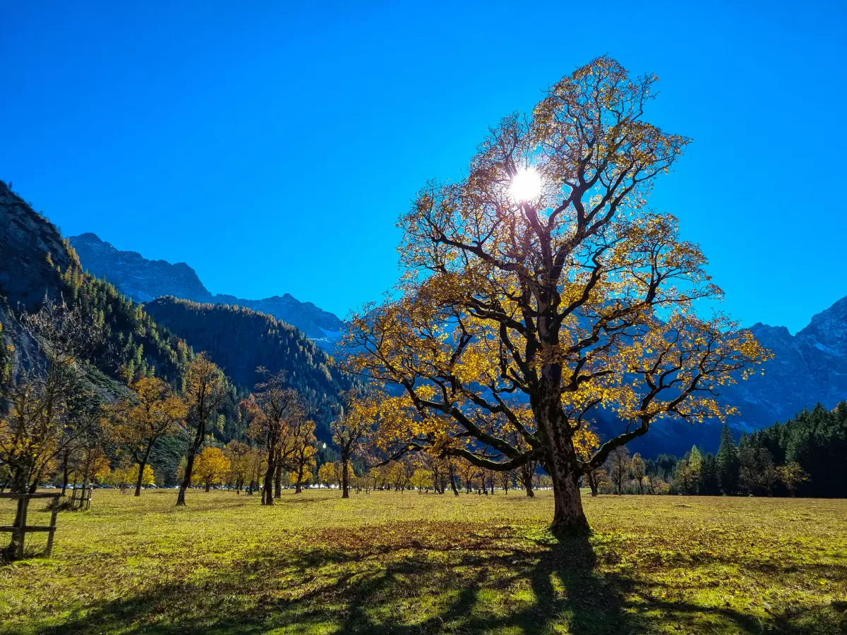
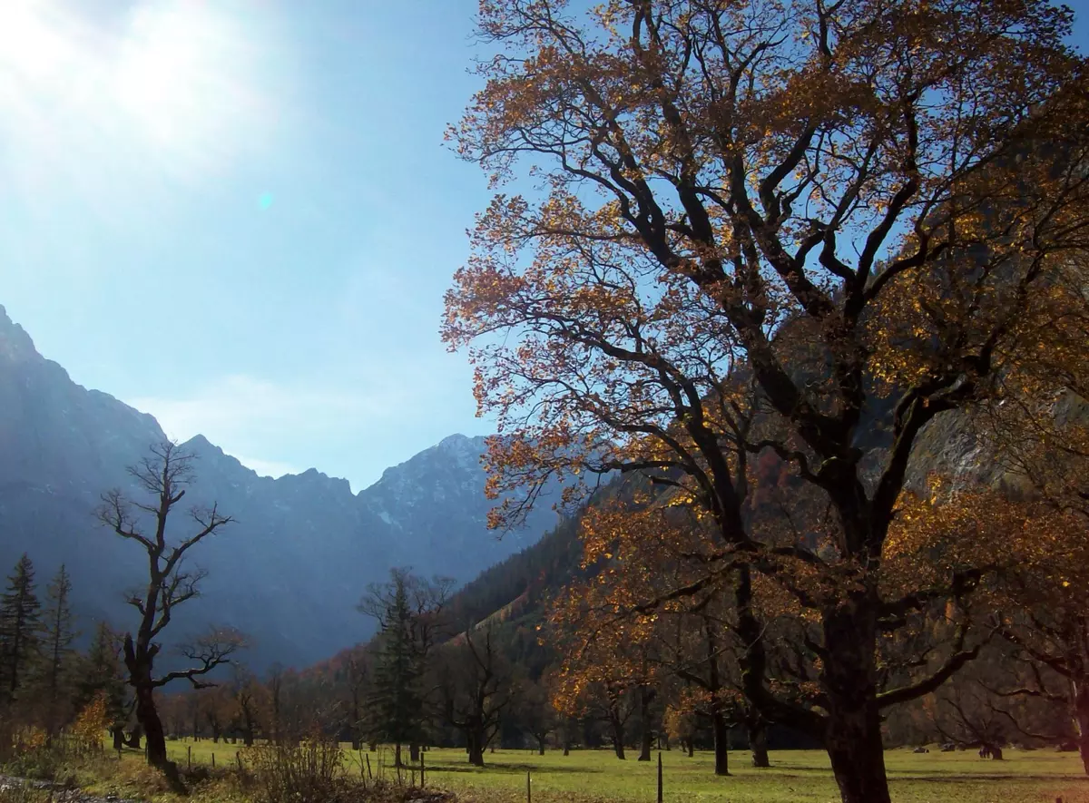
The over 2,400 mountain ash trees have been protected since 1927. They form the largest continuous mountain ash forest in the Alps. They dominate because the calcareous and nutrient-poor soil effectively prevents the growth of other deciduous and coniferous trees. In addition, other tree species and shrubs were cleared from the 12th century. Cows and sheep graze between the trees.
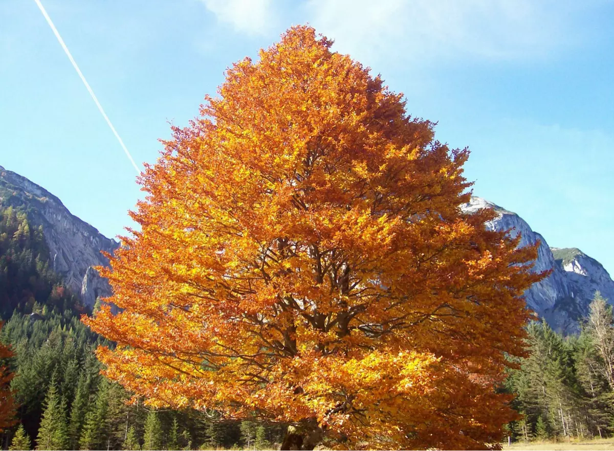
The older specimens are between 300 and 600 years old. Particularly many trees grew during the Thirty Years' War, when the alpine farming was in decline and the young shoots of the livestock could not be cleared.
However, this is also the only hotspot of mass tourism in the Karwendel. Buses and private cars form a real traffic jam on summer weekends. Fortunately, the traffic is spatially limited, the crowds cease at the Hohljoch or after the Binsalm and it is not difficult to quickly be alone again with oneself and the mountain landscape. From this point of view, this is a successful approach to traffic management.
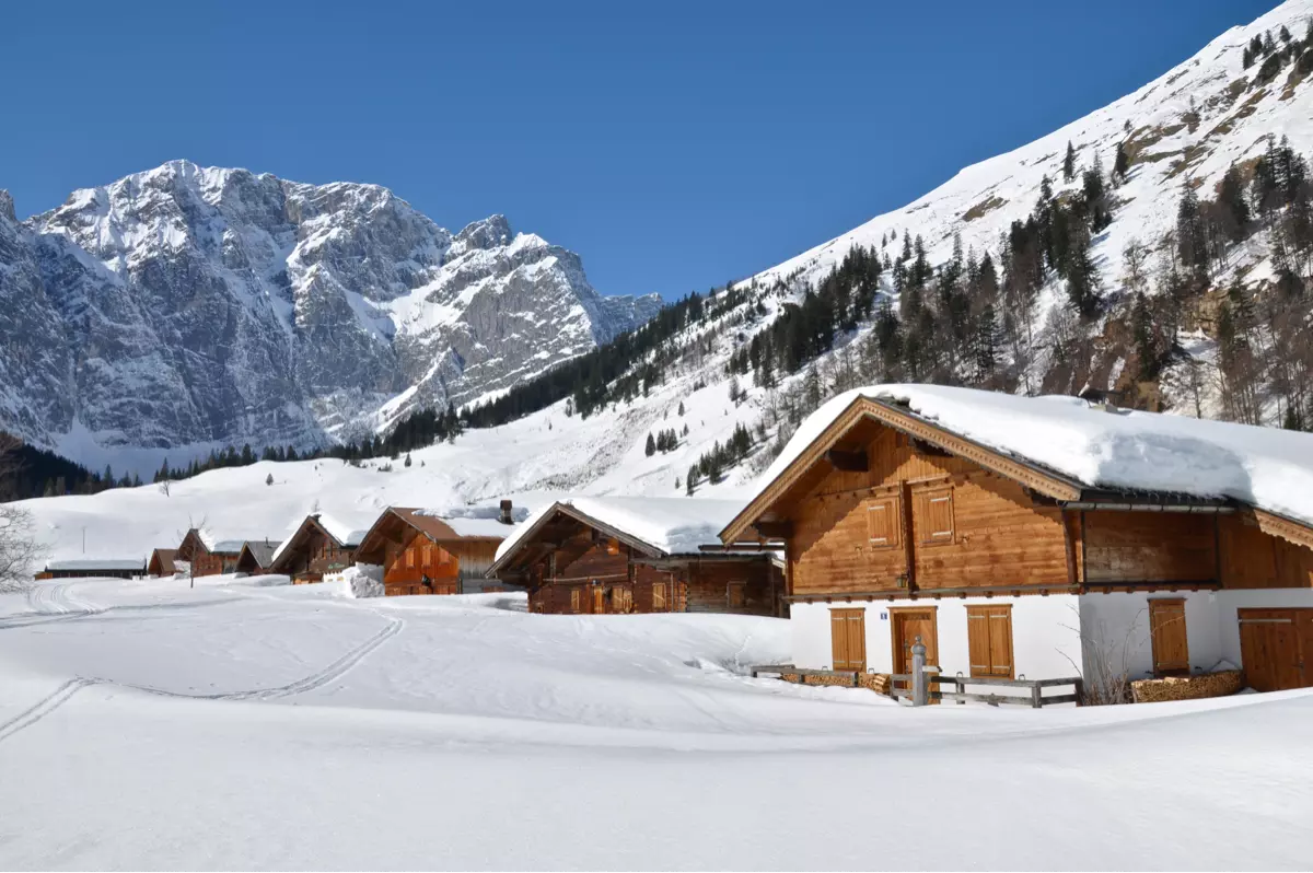
The Eng Alm, located a little away from the main parking lot on the Quellbach (spring stream) of the Rißbach, consists of a dozen wooden huts and a dairy, through whose large windows the cheese production can be observed. The Eng Alm has been operated since around 1,000 years ago. Today there are ten farmers fromSchwaz in the Inntal, who own the grazing rights here.
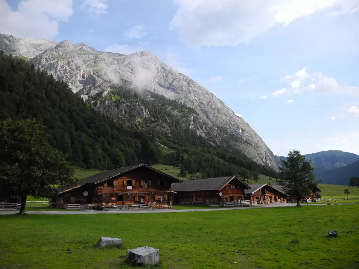
They operate the largest milk farm in Tyrol. Fresh milk is processed into butter and cheese on site, which is served in the rest area or bought and taken away from the farm shop. The small wooden alpine chapel dates from around 1700 and is where nature-loving priests still hold a Holy Mass.
Selection of rewarding mountain hikes from the Eng
From the Eng, there are numerous hiking and mountain bike routes of varying difficulty, depending on fitness and technique, and in all directions. We present three route suggestions here that have different characteristics and can be undertaken in part.
Via the Hohlhoch to the Kleine Ahornboden and the Falkenhütte:
The easy path crosses the Joch between the Hinterautal-Vomper chain and the northward-extending Gamsjoch group to the west. From the saddle and the easily accessible Teufelskopf (1978 m), one has a great view of the Dreizinkenspitze and the Laliderer walls. The further, more challenging descent into the Laliderer valley and further to the Falkenhütte and the Kleine Ahornboden is part of the Adlerweg and is also used during the annual Karwendelmarsch.
Via the Lamsenjochhütte to Pertisau or to the Sonnjoch:
From the Großgasthof, the path leads east to the Binsalm Hochleger and further to the Lamsenjochhütte. Those who wish can continue over the western Lamsenjoch to the Gramaier Grund and finally to the Achensee, a very long tour that is usually not difficult, but requires some alpine experience at the Joch. If you turn left at the Binsalm Hochleger, you can simply take the scenic Hahnkampel (2080 m) "with", continue to the managed Gramaialm Hochleger or challenge yourself to the imposing Sonnjoch (2457 m).
From Hagelhütten via the Plumssattel to the Kompar, Mondscheinspitze, Achensee:
At the northern end of the Aspen Grove, a relatively easy hike leads to the Plumsjochhütte and further to the Kompar (2011). Hiking enthusiasts can hike the entire Grasberg ridge, over the Grasbergjoch (2020), the Hölzelstaljoch (2012 m) and possibly even the Fleischbank (2026) and finally down to the Jagdhütte Steilegg. The views into the south-north oriented side valleys and the Vorkarwendel to the Isar valley are a reward. However, you can also turn from the Plumssattel north and hike to the Plumsjoch (1921 m) or more challenging to the Mondscheinspitze (2106 m) and the Bettlerkarspitze (2268 m) or reach Pertisau via the Gerntal.
In total, there are countless hiking, mountain biking and climbing opportunities around the Aspen Grove and throughout the Karwendel, and they are almost always very rewarding.
https://www.karwendel.org/naturpark-karwendel/
You can find a contribution from our partner medium here:
https://toeightycountries.com/der-ahornboden-goldener-oktober-im-karwendel